Basics
Home and SearchSite Guide
Brentford Basics
Privacy Policy
Contact
People
FamiliesPhotos of people
Name indexes incl WW1
Memories
Lists, Documents, News
Occupations
Properties
Properties: High StreetProperties: non-High Street
Photos
Maps
1909/10 Valuation Index
Pub Hub
Can You Help?
Seeking...Mystery photos
Roads Off
A-Z listJanet's Research
HistoryBeach's Jam
Nowell Parr
Turner the Artist
Queen Victoria 1840
Brentford Market
80 High Street
Clitherow of Boston House
Four Croxford Brothers
Sources & More
They SaidBooks etc.
Web Links
Next
Site Technology
Author
Home and Search
Not Brentford
Brentford Redevelopment, July 2021
The south side of New Brentford is being redeveloped by Ballymore and Janet McNamara is keeping a photographic record; these photos were taken in July 2021.
 |
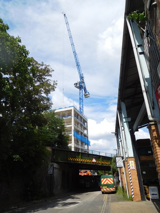
This looks east along from The Ham and includes the timber store to the right and the Augustus Close bridge. Janet adds: there’s a timber place on the 1630s Moses Glover map about there and the road bridge is sent on top of the Brunel railway. Block K, overlooking the Brent is to the left. |
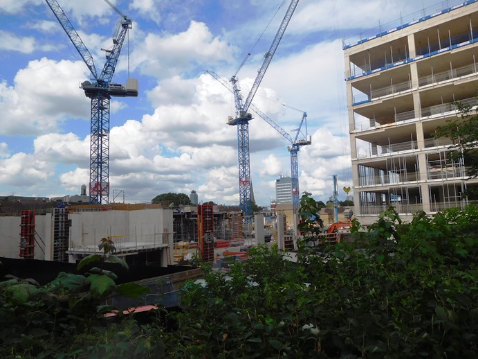
The next photo looks north towards the High Street from Augustus Close; the spire of St Paul's is just visible behind the middle crane. It shows Block K from another angle; Janet has taken other photos from this view point and progress is visible on block B to the left.
 |
Links
See also Janet's earlier photo of the site; it includes a satellite view that shows the extent of the current phase of development and a plan from Ballymore showing Plots A-L.
June 2021 update includes a photo from the Augustus Close viewpoint (as per second photo above).
Other photos by Janet charting the new development.
Published September 2021